MapCity

A city sandbox built around the map
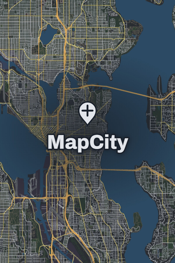
In MapCity, the map itself is your canvas. You can create anything from a small riverside town to a dense city or a wider region of connected neighborhoods. Roads, buildings, land, water, and boundaries are objects you can place and edit directly on the map.

Drawing and editing tools
MapCity allows you to draw roads with curves, snapping, angle controls, and grids. Buildings, land, water, and boundaries can be placed and reshaped directly on the map. You can refine the geometry of a single block, then zoom out to see how its streets connect to the surrounding city.

Neighborhood development
Development tools can generate roads, parcels, and buildings across a selected area or alongside existing streets. Layout and building options let you shape the result, with a preview before you add it to the map. Every generated object remains editable, so you can develop a neighborhood as a whole and refine its individual streets and buildings afterward.
Map appearance
Layers, themes, and draw order give you control over how your map is presented. You can organize its contents and adjust the appearance while continuing to edit the roads, buildings, and landscape. Objects can be moved, reshaped, duplicated, or removed as your design evolves.

Focused on creation
MapCity combines city design with the flexibility of a drawing tool. The current experience focuses on creating and editing places, without a simulated city economy or population.

Optional map content
You can create blank maps without installing any DLCs. Optional map data downloads will be free and provide existing places to work with. These downloads require substantial additional storage; see each DLC’s requirements for details.
3D views
MapCity includes 3D views for exploring your creations from another perspective. These are still in development and can be enabled as an experimental feature in Settings.